Sell tickets and manage registrations
 View my tickets and registrations
 Sell more tickets through digital marketing
 Add an event calendar to your website
 Find events by location and categories
GIS User Group | Global Water Center | Milwaukee, WI
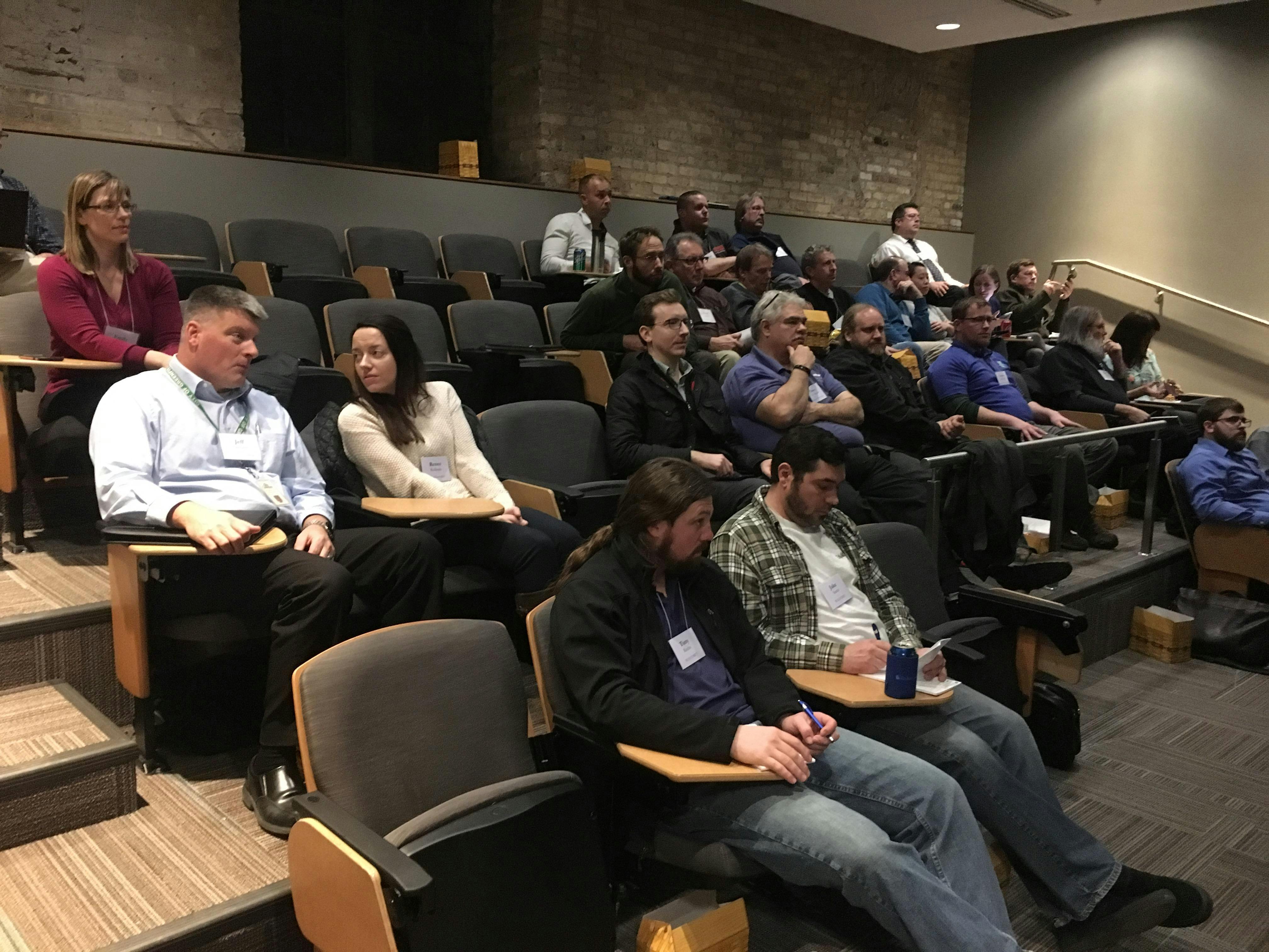
Have questions about your GIS? Want to learn how to get the most out of your GIS software?
Ruekert & Mielke, Inc. (R/M) offers complimentary GIS User Groups, held regularly at various locations. During these information sessions, you're able to get one-on-one time with a GIS analyst, as well as meet other communities who utilize GIS on a day-to-day basis.
It's an interactive and informal atmosphere designed to help you become more familiar with your GIS application and how to use it in practical ways.
TOPICS INCLUDE
Milwaukee County (Kevin Bruhn, Milwaukee County)
-
2018 aerial imagery.
-
NAD 83 reprojection plan.
-
Updates to planimetric data from the 2018 flights.
-
Data security: firewalls and system uptime.
GIS and End of Construction Season Planning (Ken Ward, Ruekert & Mielke, Inc.)
-
What communities need from developers, contractors, and engineers at the end of a project that can be added into their GIS.
-
Discussion about situations where information can be added into the GIS and back-billed to the developer.
Tips & Tricks (Bronson Jastrow, Ruekert & Mielke, Inc.)
This event is complementary and includes lunch for attendees.